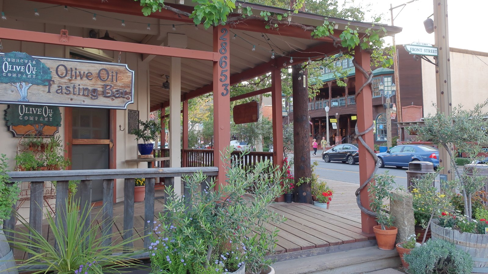
Old Town shops at Front and Main Streets

Outdoors

Fishing near Temecula

Lakes, rivers and recreation areas near Temecula where fishing is allowed, closest first.

13places to fish
22 mito the closest
1within 30 miles

Good to know: Anyone 16 or older generally needs a state fishing license; seasons, limits and special rules vary by water. California license information ↗

Closest picks

1

Oak Grove Campground

22 mi east · USDA Forest Service

Located on the Cleveland National Forest, Oak Grove Campground is nestled in a valley of large oak groves and manzanita. Recreation Oak Grove Trail is a short walk of 1.5 miles and is located across Rt. 79, behind the Ranger Station.
2

Fern Basin

31 mi northeast · USDA Forest Service

The picturesque Fern Basin Campground is a perfect escape from a busy lifestyle. It provides peace and quiet in the mountains of southern California as well as access to countless recreational opportunities.

3

Boulder Basin

32 mi northeast · USDA Forest Service

Black Mountain Road is is poor condition at this time. A four-wheel drive (4WD) vehicle is recommended with a minimum ground clearance of 6 inches. Drive at your own risk.

Map of all 13 places

Map of 13 places loads as you scroll.

Within 30 miles (1)

22 mi east · USDA Forest Service · Campground

Oak Grove Campground

Located on the Cleveland National Forest, Oak Grove Campground is nestled in a valley of large oak groves and manzanita. Recreation Oak Grove Trail is a short walk of 1.5 miles and is located across Rt. 79, behind the Ranger Station.

  • Camping
  • Fishing
  • Hiking
  • History

30 to 75 miles (12)

31 mi northeast · USDA Forest Service · Campground

Fern Basin

The picturesque Fern Basin Campground is a perfect escape from a busy lifestyle. It provides peace and quiet in the mountains of southern California as well as access to countless recreational opportunities.

  • Camping
  • Fishing
  • Hiking
  • Horseback riding
  • Lookout Tower
  • Mountain Biking

32 mi northeast · USDA Forest Service · Campground

Boulder Basin

Black Mountain Road is is poor condition at this time. A four-wheel drive (4WD) vehicle is recommended with a minimum ground clearance of 6 inches. Drive at your own risk.

  • Backpacking
  • Biking
  • Camping
  • Fishing
  • Hiking
  • Horseback riding
  • Mountain Biking
  • Picnicking

32 mi northeast · USDA Forest Service · Campground

Marion Mountain

The Marion Mountain Campground offers a beautiful retreat in the San Bernardino National Forest. It provides access to a number of hiking trails that lead to some of the most spectacular views of Southern California.

  • Biking
  • Camping
  • Fire Lookouts/Cabins Overnight
  • Fishing
  • Hiking
  • Horseback riding

33 mi northeast · USDA Forest Service · Campground

Black Mountain (San Bernardino)

Black Mountain Road is is poor condition at this time. 4 Wheel Drive is recommended. The road is currently a high-priority for maintenance, which should be occuring in June, 2023.

  • Camping
  • Climbing
  • Fire Lookouts/Cabins Overnight
  • Fishing
  • Hiking
  • Picnicking

40 mi east · USDA Forest Service · Campground

Ribbonwood Equestrian Cg

Ribbonwood is an ideal mountain escape for equestrian campers. The campground overlooks Palm Desert and the Salton Sea in southern California and provides visitors with access to hundreds of miles of terrain for exploration and enjoyment.

  • Camping
  • Fishing
  • Horse Camping
  • Horseback riding
  • Mountain Biking

42 mi north · USDA Forest Service

San Bernardino National Forest

  • Biking
  • Camping
  • Climbing
  • Fishing
  • Hiking
  • Horse Camping
  • Horseback riding
  • Hunting

49 mi north · USDA Forest Service · Campground

Barton Flats

The Barton Flats Campground provides a taste of just about everything the San Bernardino National Forest has to offer.

  • Biking
  • Boating
  • Camping
  • Fishing
  • Hiking
  • Ranger programs
  • Water sports

49 mi northwest · US Army Corps of Engineers

Carbon Canyon Dam

Managed by Orange County, there is no permanent pool, but varied facilities such as fishing, picnic areas, a nature trail, and tennis. The site of the historic oil boom town of Olinda. Adjoins Chino Hills State Park.

  • Fishing
  • Hiking
  • Picnicking
  • Wildlife viewing

49 mi north · USDA Forest Service · Campground

Council

The Council Group Campground is a great place to enjoy a large outdoor gathering with just about everything the San Bernardino National Forest has to offer.

  • Camping
  • Fishing
  • Hiking
  • Ranger programs

50 mi northeast · Bureau of Land Management

Sand to Snow National Monument

Remember your OUTDOOR ETHICS when enjoying your public lands. Please RECREATE RESPONSIBLY.

  • Accessible Swimming
  • Camping
  • Fishing
  • Hiking
  • Horseback riding
  • Photography
  • Wildlife viewing
  • Winter sports

51 mi east · Bureau of Reclamation

Lake Cahuilla

Surronded by the stark beauty of the Santa Rosa Mountains, Lake Cahuilla (pronounced Kah-wee-ah) is a favorite recreation area in the Coachella Valley.

  • Camping
  • Fishing
  • Hiking
  • Horseback riding
  • Picnicking
  • Recreational Vehicles
  • Water sports

59 mi south · Fish and Wildlife Service

San Diego Bay National Wildlife Refuge

San Diego Bay National Wildlife Refuge The San Diego Bay National Wildlife Refuge protects a rich diversity of endangered, threatened, migratory, and native species and their habitats within a highly urbanized coastal environment.

  • Birding
  • Fishing
  • Motor Boat
  • Wildlife viewing

Distances are straight-line miles from downtown Temecula. Listings come from Recreation.gov’s federal recreation database; check each official page for hours, fees, fire restrictions and closures before you go.

Around Temecula

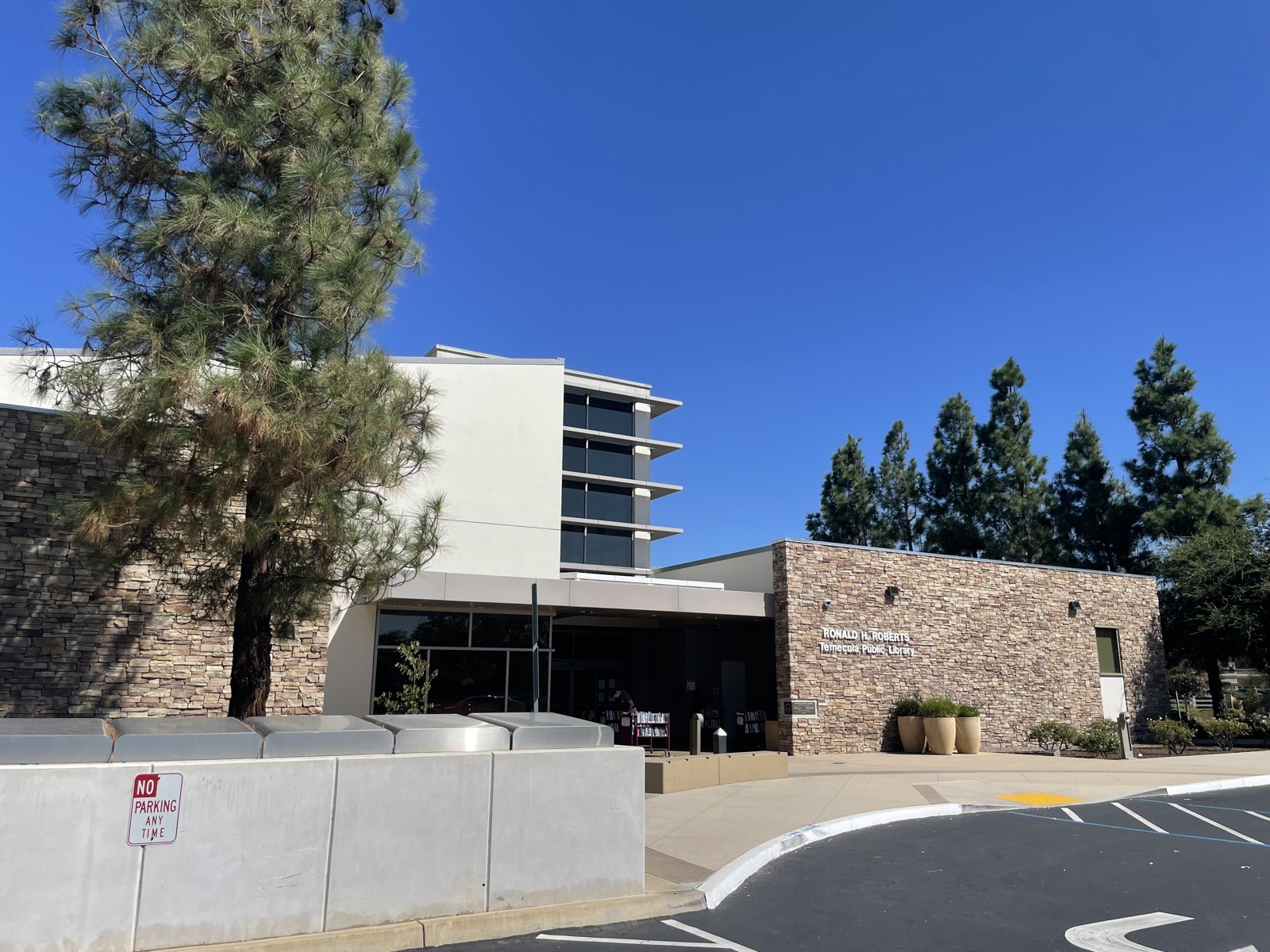
Ronald H. Roberts Temecula Public Library
Ronald H. Roberts Temecula Public LibraryBlervis · CC0
Old Town shops at Front and Main Streets, Temecula
Old Town shops at Front and Main Streetscultivar413 · CC BY 2.0
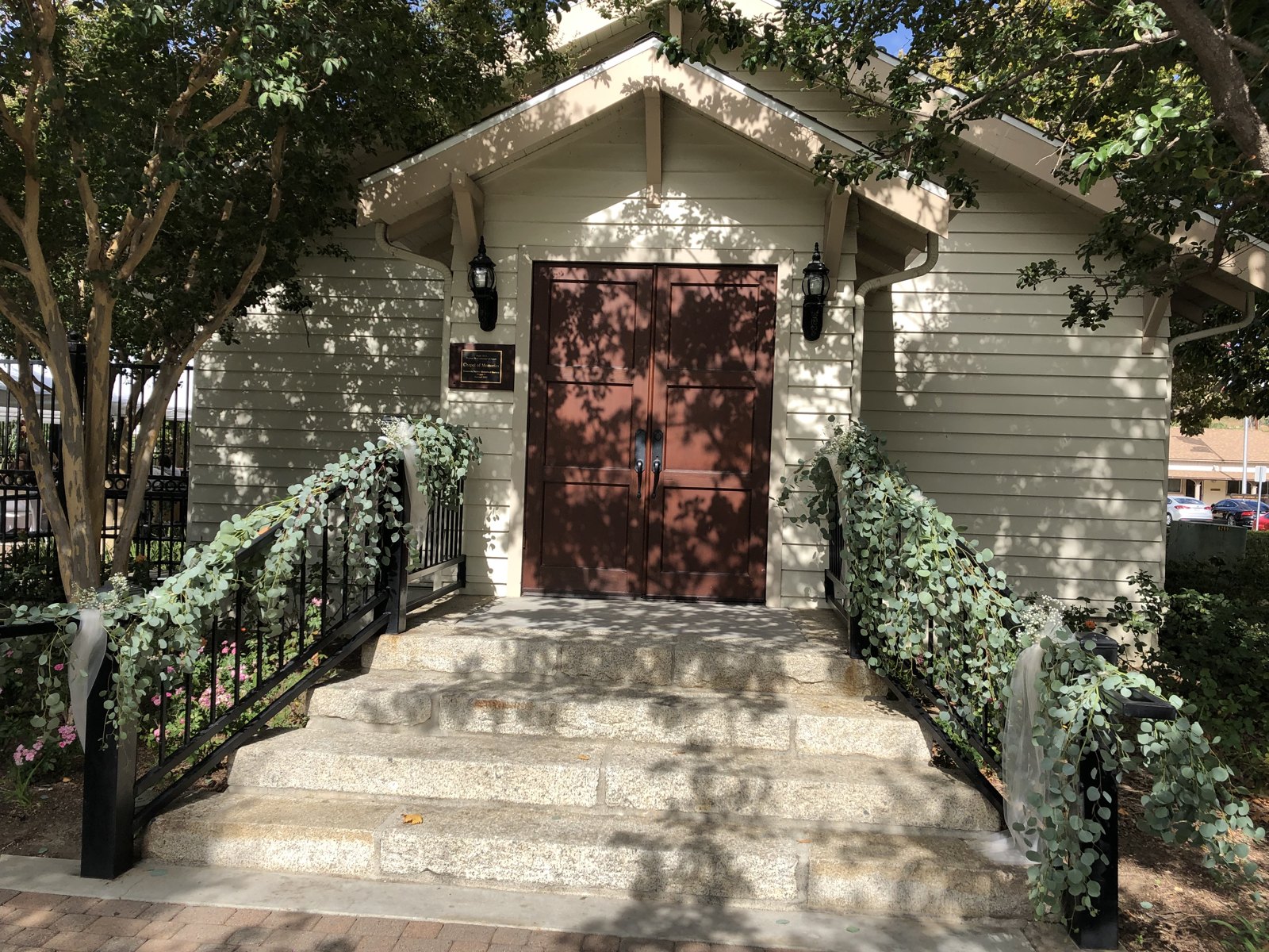
Chapel of Memories in Old Town, Temecula
Chapel of Memories in Old TownPjanderson47 · CC BY-SA 4.0

More outdoors near Temecula

Questions

Where is the closest place for fishing near Temecula?

Oak Grove Campground (USDA Forest Service), about 22 miles east of Temecula as the crow flies. Next are Fern Basin (31 mi) and Boulder Basin (32 mi).

Do I need a fishing license near Temecula?

Yes, anglers 16 and older generally need a California fishing license from the state wildlife agency. Rules, seasons and limits vary by water.

Who manages these places?

Federal agencies including USDA Forest Service, US Army Corps of Engineers, Bureau of Land Management. Each listing links to its official page for hours, fees, closures and current conditions.

Temecula AI

Your Temecula local guide
Hey there!

I'm Temecula AI. Ask about neighborhood food, independent shops, local history or planning a visit.

AI recommendations may be inaccurate. Verify hours and prices. Questions are processed by Cloudflare. Privacy